Stroudwater Navigation approaching Ebley
Introduction
The photograph on this page of Stroudwater Navigation approaching Ebley by Stephen McKay as part of the Geograph project.
The Geograph project started in 2005 with the aim of publishing, organising and preserving representative images for every square kilometre of Great Britain, Ireland and the Isle of Man.

There are currently over 7.5m images from over 14,400 individuals and you can help contribute to the project by visiting https://www.geograph.org.uk
Stroudwater Navigation approaching Ebley
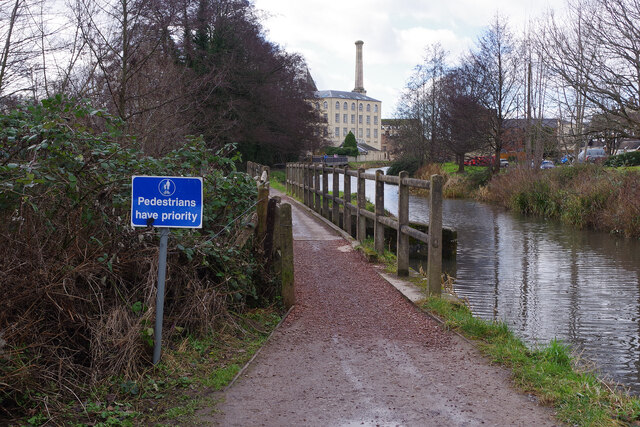
Image: © Stephen McKay Taken: 4 Feb 2022
The building in the background is Ebley Mill. In the foreground a bridge takes the towpath over a weir that takes surplus canal water into the River Frome. Pedestrians have priority over cyclists; this is one of several similar signs along this stretch of towpath.
Images are licensed for reuse under creativecommons.org/licenses/by-sa/2.0
Image Location


Leaflet Map data © OpenStreetMap
Latitude
51.740658
Longitude
-2.244998