Stroudwater Navigation east of Hilly Orchard Bridge
Introduction
The photograph on this page of Stroudwater Navigation east of Hilly Orchard Bridge by Stephen McKay as part of the Geograph project.
The Geograph project started in 2005 with the aim of publishing, organising and preserving representative images for every square kilometre of Great Britain, Ireland and the Isle of Man.

There are currently over 7.5m images from over 14,400 individuals and you can help contribute to the project by visiting https://www.geograph.org.uk
Stroudwater Navigation east of Hilly Orchard Bridge
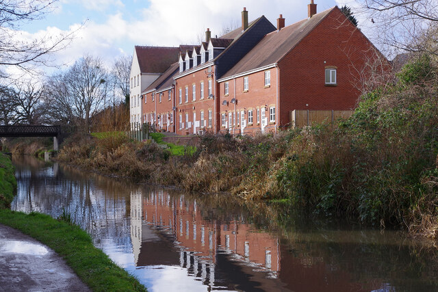
Image: © Stephen McKay Taken: 4 Feb 2022
Modern houses are reflected in the canal with Hilly Orchard Footbridge ahead.
Images are licensed for reuse under creativecommons.org/licenses/by-sa/2.0
Image Location


Leaflet Map data © OpenStreetMap
Latitude
51.741562
Longitude
-2.24254