M20 Junction 6 from the air
Introduction
The photograph on this page of M20 Junction 6 from the air by Thomas Nugent as part of the Geograph project.
The Geograph project started in 2005 with the aim of publishing, organising and preserving representative images for every square kilometre of Great Britain, Ireland and the Isle of Man.

There are currently over 7.5m images from over 14,400 individuals and you can help contribute to the project by visiting https://www.geograph.org.uk
M20 Junction 6 from the air
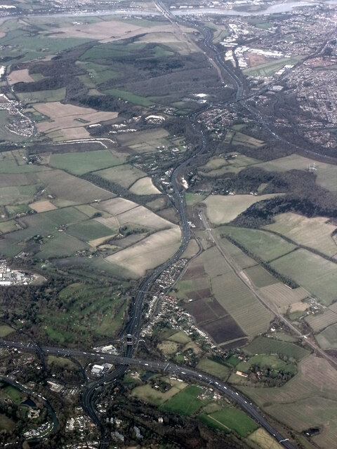
Image: © Thomas Nugent Taken: 28 Jan 2022
The M20 runs from left to right through the junction, with the A229 running top to bottom. The M2 motorway can be seen crossing the River Medway in the distance. Viewed from a gatwick bound flight from Prague.
Images are licensed for reuse under creativecommons.org/licenses/by-sa/2.0
Image Location
Latitude
51.298574
Longitude
0.515991