West side of Knightstone
Introduction
The photograph on this page of West side of Knightstone by Neil Owen as part of the Geograph project.
The Geograph project started in 2005 with the aim of publishing, organising and preserving representative images for every square kilometre of Great Britain, Ireland and the Isle of Man.

There are currently over 7.5m images from over 14,400 individuals and you can help contribute to the project by visiting https://www.geograph.org.uk
West side of Knightstone
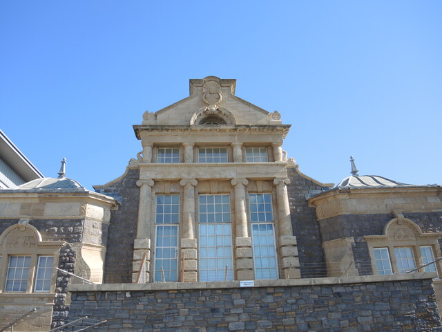
Image: © Neil Owen Taken: 20 Sep 2021
Some of the older buildings on the island, associated with the upmarket practise of bathing and spa treatments. See Image] for a closer look at some of the details.
Images are licensed for reuse under creativecommons.org/licenses/by-sa/2.0
Image Location


Leaflet Map data © OpenStreetMap
Latitude
51.351449
Longitude
-2.989907