Hastings Country Park
Introduction
The photograph on this page of Hastings Country Park by Des Blenkinsopp as part of the Geograph project.
The Geograph project started in 2005 with the aim of publishing, organising and preserving representative images for every square kilometre of Great Britain, Ireland and the Isle of Man.

There are currently over 7.5m images from over 14,400 individuals and you can help contribute to the project by visiting https://www.geograph.org.uk
Hastings Country Park
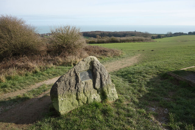
Image: © Des Blenkinsopp Taken: 28 Jan 2022
A view looking south east over the eastern section of the 345 hectares of coast, cliffs, woodland, valleys and grassland which has been a country park since 1974. https://www.hastings.gov.uk/countryside-nature/naturereserves/naturereserves-hastings/hcp/
Images are licensed for reuse under creativecommons.org/licenses/by-sa/2.0
Image Location


Leaflet Map data © OpenStreetMap
Latitude
50.873017
Longitude
0.644529