St David's Church, Airmyn
Introduction
The photograph on this page of St David's Church, Airmyn by Neil Theasby as part of the Geograph project.
The Geograph project started in 2005 with the aim of publishing, organising and preserving representative images for every square kilometre of Great Britain, Ireland and the Isle of Man.

There are currently over 7.5m images from over 14,400 individuals and you can help contribute to the project by visiting https://www.geograph.org.uk
St David's Church, Airmyn
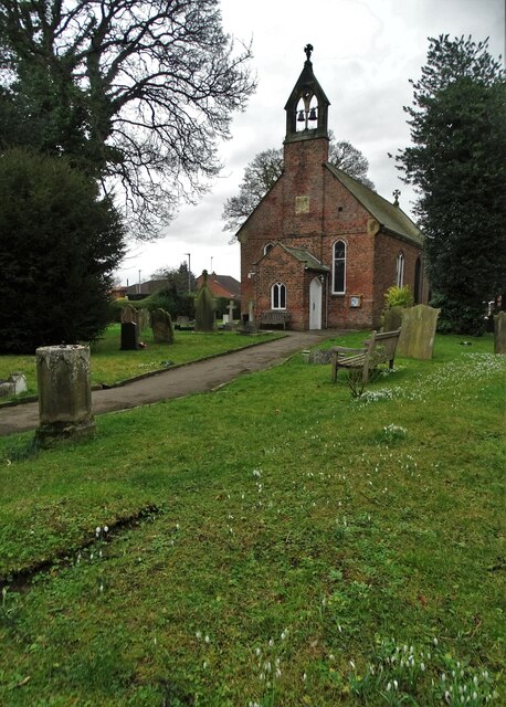
Image: © Neil Theasby Taken: 5 Feb 2022
"The parish church of St David's is a Grade II listed building originally built in 1318 and extended in 1676. The roof was replaced with a new one of Westmorland slate in 1858, as part of refurbishments that also included a bellcote and a porch on the west end." (from Wikipedia)
Images are licensed for reuse under creativecommons.org/licenses/by-sa/2.0
Image Location
Latitude
53.717814
Longitude
-0.901661