Old School, Liversedge
Introduction
The photograph on this page of Old School, Liversedge by Humphrey Bolton as part of the Geograph project.
The Geograph project started in 2005 with the aim of publishing, organising and preserving representative images for every square kilometre of Great Britain, Ireland and the Isle of Man.

There are currently over 7.5m images from over 14,400 individuals and you can help contribute to the project by visiting https://www.geograph.org.uk
Old School, Liversedge
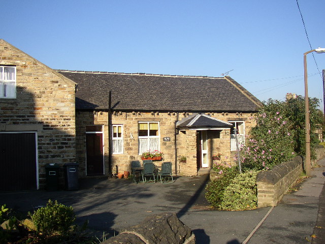
Image: © Humphrey Bolton Taken: 27 Oct 2005
The former National School is behind the photographer, the other side of Halifax Road (and being renovated at present), so it was surprising to find an 'Old School' next to the Town Hall. This was probably the charity school for 22 poor children that was established in 1723.
Images are licensed for reuse under creativecommons.org/licenses/by-sa/2.0
Image Location


Leaflet Map data © OpenStreetMap
Latitude
53.711142
Longitude
-1.698467