St. Alphonsus RC Church, Kings Road
Introduction
The photograph on this page of St. Alphonsus RC Church, Kings Road by Mick Garratt as part of the Geograph project.
The Geograph project started in 2005 with the aim of publishing, organising and preserving representative images for every square kilometre of Great Britain, Ireland and the Isle of Man.

There are currently over 7.5m images from over 14,400 individuals and you can help contribute to the project by visiting https://www.geograph.org.uk
St. Alphonsus RC Church, Kings Road
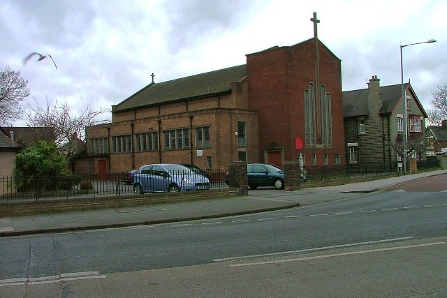
Image: © Mick Garratt Taken: 29 Feb 2008
At its junction with Westbourne Grove which can be seen just on the right.
Images are licensed for reuse under creativecommons.org/licenses/by-sa/2.0
Image Location
Latitude
54.568334
Longitude
-1.211626