Ford on the Houghwell Burn
Introduction
The photograph on this page of Ford on the Houghwell Burn by Robert Graham as part of the Geograph project.
The Geograph project started in 2005 with the aim of publishing, organising and preserving representative images for every square kilometre of Great Britain, Ireland and the Isle of Man.

There are currently over 7.5m images from over 14,400 individuals and you can help contribute to the project by visiting https://www.geograph.org.uk
Ford on the Houghwell Burn
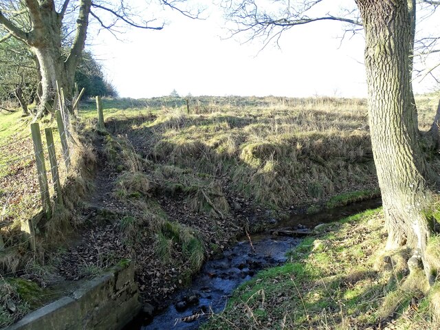
Image: © Robert Graham Taken: 24 Jan 2022
The path from Harperley Lane to Tanfield Lea crosses the stream here.
Images are licensed for reuse under creativecommons.org/licenses/by-sa/2.0
Image Location
Latitude
54.877924
Longitude
-1.722401