The Thatched Cottage, High Toynton
Introduction
The photograph on this page of The Thatched Cottage, High Toynton by Jonathan Thacker as part of the Geograph project.
The Geograph project started in 2005 with the aim of publishing, organising and preserving representative images for every square kilometre of Great Britain, Ireland and the Isle of Man.

There are currently over 7.5m images from over 14,400 individuals and you can help contribute to the project by visiting https://www.geograph.org.uk
The Thatched Cottage, High Toynton
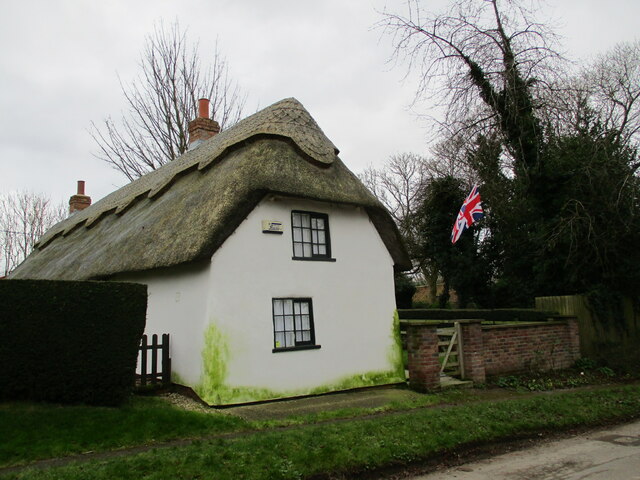
Image: © Jonathan Thacker Taken: 3 Feb 2022
Dates from the late eighteenth century https://historicengland.org.uk/listing/the-list/list-entry/1168167?section=official-listing Of mud and stud construction.
Images are licensed for reuse under creativecommons.org/licenses/by-sa/2.0
Image Location
Latitude
53.210127
Longitude
-0.079099