Stream at Inverhoulin
Introduction
The photograph on this page of Stream at Inverhoulin by Trevor Littlewood as part of the Geograph project.
The Geograph project started in 2005 with the aim of publishing, organising and preserving representative images for every square kilometre of Great Britain, Ireland and the Isle of Man.

There are currently over 7.5m images from over 14,400 individuals and you can help contribute to the project by visiting https://www.geograph.org.uk
Stream at Inverhoulin
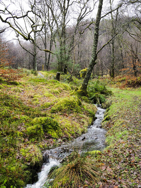
Image: © Trevor Littlewood Taken: 3 Feb 2022
Inverhoulin is a location along the A82 north of Tarbet. The stream descends through woodland from the modest hill, Cruach Tairbeirt, which can be seen rising in the background.
Images are licensed for reuse under creativecommons.org/licenses/by-sa/2.0
Image Location
Latitude
56.217575
Longitude
-4.696635