Wetlands in Valley Park
Introduction
The photograph on this page of Wetlands in Valley Park by Alan Murray-Rust as part of the Geograph project.
The Geograph project started in 2005 with the aim of publishing, organising and preserving representative images for every square kilometre of Great Britain, Ireland and the Isle of Man.

There are currently over 7.5m images from over 14,400 individuals and you can help contribute to the project by visiting https://www.geograph.org.uk
Wetlands in Valley Park
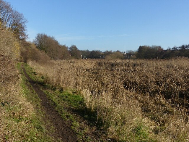
Image: © Alan Murray-Rust Taken: 26 Jan 2022
The path follows the original line of the Day Brook which was diverted into a meandering course, through what was intended as a water meadow, as flood alleviation measures. It has developed more of a wetland ecology since.
Images are licensed for reuse under creativecommons.org/licenses/by-sa/2.0
Image Location
Latitude
52.992314
Longitude
-1.143479