Victoria Road, Earlswood
Introduction
The photograph on this page of Victoria Road, Earlswood by Hywel Williams as part of the Geograph project.
The Geograph project started in 2005 with the aim of publishing, organising and preserving representative images for every square kilometre of Great Britain, Ireland and the Isle of Man.

There are currently over 7.5m images from over 14,400 individuals and you can help contribute to the project by visiting https://www.geograph.org.uk
Victoria Road, Earlswood
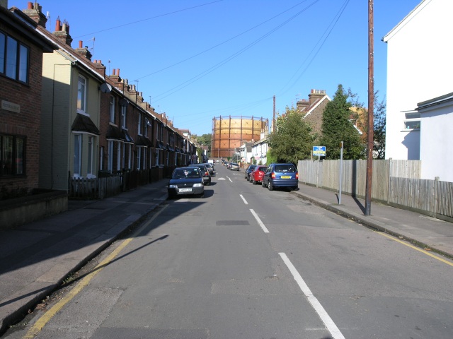
Image: © Hywel Williams Taken: 27 Oct 2005
Looking down Victoria Road, Earlswood. A gasometer can be seen standing down the bottom of the street, the smaller of two that dominate the skyline of the town.
Images are licensed for reuse under creativecommons.org/licenses/by-sa/2.0
Image Location
Latitude
51.229443
Longitude
-0.168161