Bridge 49, from the south
Introduction
The photograph on this page of Bridge 49, from the south by Christine Johnstone as part of the Geograph project.
The Geograph project started in 2005 with the aim of publishing, organising and preserving representative images for every square kilometre of Great Britain, Ireland and the Isle of Man.

There are currently over 7.5m images from over 14,400 individuals and you can help contribute to the project by visiting https://www.geograph.org.uk
Bridge 49, from the south
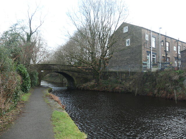
Image: © Christine Johnstone Taken: 1 Feb 2022
Carrying Ealees Road over the Rochdale Canal. The terraced houses were built on a tenter ground in the second half of the 1800s.
Images are licensed for reuse under creativecommons.org/licenses/by-sa/2.0
Image Location
Latitude
53.643716
Longitude
-2.090569