Weirfield Path passing Weirside Place
Introduction
The photograph on this page of Weirfield Path passing Weirside Place by Derek Harper as part of the Geograph project.
The Geograph project started in 2005 with the aim of publishing, organising and preserving representative images for every square kilometre of Great Britain, Ireland and the Isle of Man.

There are currently over 7.5m images from over 14,400 individuals and you can help contribute to the project by visiting https://www.geograph.org.uk
Weirfield Path passing Weirside Place
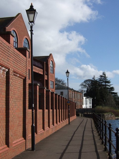
Image: © Derek Harper Taken: 26 Feb 2008
Behind the wall is a modern development of 24 flats in three brick blocks, overlooking the River Exe immediately above Image They can also be seen in Image Ahead are the buildings also shown in Image and Image
Images are licensed for reuse under creativecommons.org/licenses/by-sa/2.0
Image Location


Leaflet Map data © OpenStreetMap
Latitude
50.714678
Longitude
-3.524746