Forestry Commission Land
Introduction
The photograph on this page of Forestry Commission Land by Marion Phillips as part of the Geograph project.
The Geograph project started in 2005 with the aim of publishing, organising and preserving representative images for every square kilometre of Great Britain, Ireland and the Isle of Man.

There are currently over 7.5m images from over 14,400 individuals and you can help contribute to the project by visiting https://www.geograph.org.uk
Forestry Commission Land
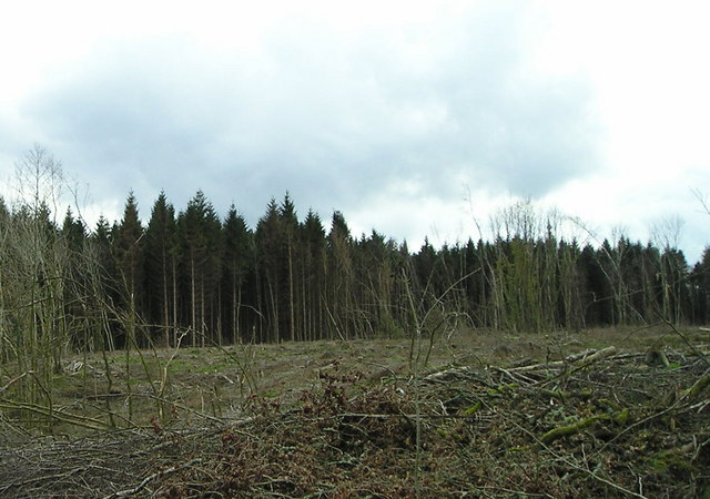
Image: © Marion Phillips Taken: 28 Feb 2008
Norway spruce has been clear-felled in the near ground but is still standing beyond.
Images are licensed for reuse under creativecommons.org/licenses/by-sa/2.0
Image Location
Latitude
52.035928
Longitude
-4.532167