The Leven at Little Ayton
Introduction
The photograph on this page of The Leven at Little Ayton by Gordon Hatton as part of the Geograph project.
The Geograph project started in 2005 with the aim of publishing, organising and preserving representative images for every square kilometre of Great Britain, Ireland and the Isle of Man.

There are currently over 7.5m images from over 14,400 individuals and you can help contribute to the project by visiting https://www.geograph.org.uk
The Leven at Little Ayton
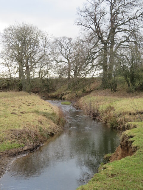
Image: © Gordon Hatton Taken: 1 Feb 2022
The Leven is a curious little river, seemingly unable to decide which way to go. The headwaters head north east as if to join the becks that run into the Esk, but this way is blocked by glacial debris, so it turns west to flow through Great Ayton, Stokesley and Hutton Rudby, at which point it is only a short distance from waters heading into the Wiske and eventually the Swale. At the last moment the Leven makes up its mind and carves a deep valley to meet the Tees below Yarm.
Images are licensed for reuse under creativecommons.org/licenses/by-sa/2.0
Image Location
Latitude
54.48434
Longitude
-1.125414