A walk from St Margaret?s at Cliffe to Kingsdown and return [28]
Introduction
The photograph on this page of A walk from St Margaret?s at Cliffe to Kingsdown and return [28] by Michael Dibb as part of the Geograph project.
The Geograph project started in 2005 with the aim of publishing, organising and preserving representative images for every square kilometre of Great Britain, Ireland and the Isle of Man.

There are currently over 7.5m images from over 14,400 individuals and you can help contribute to the project by visiting https://www.geograph.org.uk
A walk from St Margaret?s at Cliffe to Kingsdown and return [28]
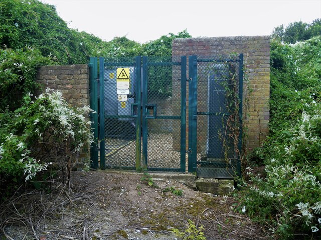
Image: © Michael Dibb Taken: 12 Sep 2021
Seen alongside the bridleway, this small electrical sub station is in danger of being swallowed by the greenery. Starting from the Dover Patrol Monument, the walk follows the long distance Saxon Shore Way along the top of the cliffs before descending to the bay at Kingsdown. Heading inland there is an ascent of Wood Hill before various rights of way run across fields to the wonderfully named Otty Bottom, then on to Free Down and a return to the starting point. A little more than 5 miles.
Images are licensed for reuse under creativecommons.org/licenses/by-sa/2.0
Image Location
Latitude
51.182539
Longitude
1.395377