Anvil House
Introduction
The photograph on this page of Anvil House by Neil Owen as part of the Geograph project.
The Geograph project started in 2005 with the aim of publishing, organising and preserving representative images for every square kilometre of Great Britain, Ireland and the Isle of Man.

There are currently over 7.5m images from over 14,400 individuals and you can help contribute to the project by visiting https://www.geograph.org.uk
Anvil House
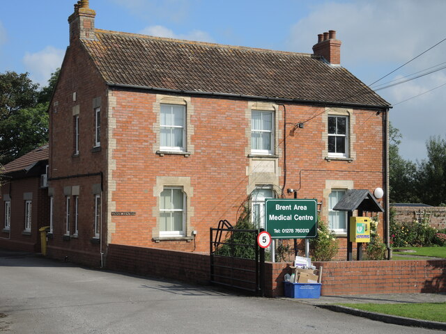
Image: © Neil Owen Taken: 15 Sep 2021
Nowadays it is the Brent Area Medical Centre, but the datestone of 1889 and the name suggests it was a smithy in a previous time.
Images are licensed for reuse under creativecommons.org/licenses/by-sa/2.0
Image Location
Latitude
51.263588
Longitude
-2.936277