Top of the line at Tantobie
Introduction
The photograph on this page of Top of the line at Tantobie by Robert Graham as part of the Geograph project.
The Geograph project started in 2005 with the aim of publishing, organising and preserving representative images for every square kilometre of Great Britain, Ireland and the Isle of Man.

There are currently over 7.5m images from over 14,400 individuals and you can help contribute to the project by visiting https://www.geograph.org.uk
Top of the line at Tantobie
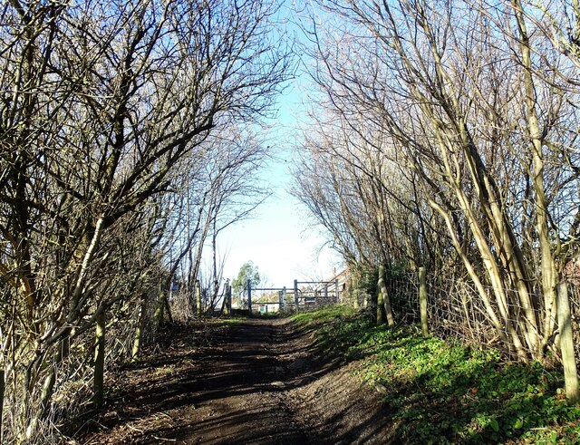
Image: © Robert Graham Taken: 24 Jan 2022
The junction of the path from Tannfield Lea with the minor road to Harperley near Wester Leith farm.
Images are licensed for reuse under creativecommons.org/licenses/by-sa/2.0
Image Location


Leaflet Map data © OpenStreetMap
Latitude
54.883959
Longitude
-1.728594