Llwybr ceffyl a Fferm Tŷ Coch
Introduction
The photograph on this page of Llwybr ceffyl a Fferm Tŷ Coch by Mike Parker as part of the Geograph project.
The Geograph project started in 2005 with the aim of publishing, organising and preserving representative images for every square kilometre of Great Britain, Ireland and the Isle of Man.

There are currently over 7.5m images from over 14,400 individuals and you can help contribute to the project by visiting https://www.geograph.org.uk
Llwybr ceffyl a Fferm Tŷ Coch
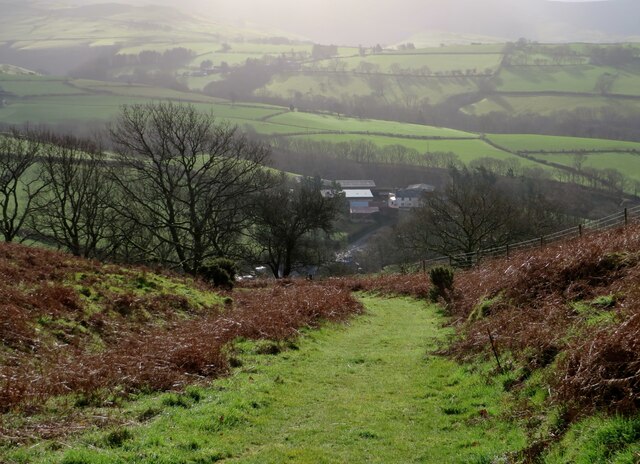
Image: © Mike Parker Taken: 30 Jan 2022
View down the bridleway towards Tŷ Coch farm and beyond.
Images are licensed for reuse under creativecommons.org/licenses/by-sa/2.0
Image Location
Latitude
52.578122
Longitude
-3.743413