Hammer Pond
Introduction
The photograph on this page of Hammer Pond by Stephen McKay as part of the Geograph project.
The Geograph project started in 2005 with the aim of publishing, organising and preserving representative images for every square kilometre of Great Britain, Ireland and the Isle of Man.

There are currently over 7.5m images from over 14,400 individuals and you can help contribute to the project by visiting https://www.geograph.org.uk
Hammer Pond
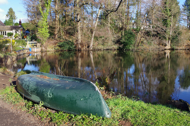
Image: © Stephen McKay Taken: 27 Jan 2022
An upturned boat sits beside Hammer Pond which is believed to have been formed in the 13th or 14th century by damming the Ganlow Brook. It provides water for the now preserved Churchill Forge Mill.
Images are licensed for reuse under creativecommons.org/licenses/by-sa/2.0
Image Location
Latitude
52.414091
Longitude
-2.173294