Parkside estate, Tanfield Lea
Introduction
The photograph on this page of Parkside estate, Tanfield Lea by Robert Graham as part of the Geograph project.
The Geograph project started in 2005 with the aim of publishing, organising and preserving representative images for every square kilometre of Great Britain, Ireland and the Isle of Man.

There are currently over 7.5m images from over 14,400 individuals and you can help contribute to the project by visiting https://www.geograph.org.uk
Parkside estate, Tanfield Lea
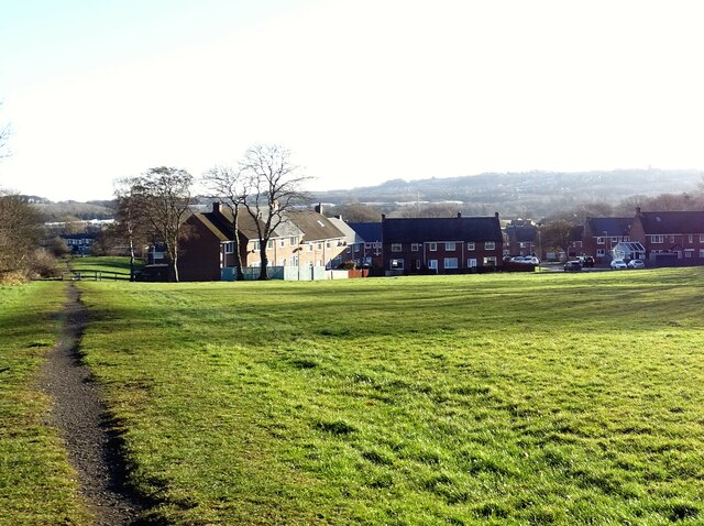
Image: © Robert Graham Taken: 24 Jan 2022
This estate was built as council housing in the post war period. Probably in the 1960's or a little later.
Images are licensed for reuse under creativecommons.org/licenses/by-sa/2.0
Image Location
Latitude
54.883033
Longitude
-1.71691