Road junction at the bottom of South View
Introduction
The photograph on this page of Road junction at the bottom of South View by Robert Graham as part of the Geograph project.
The Geograph project started in 2005 with the aim of publishing, organising and preserving representative images for every square kilometre of Great Britain, Ireland and the Isle of Man.

There are currently over 7.5m images from over 14,400 individuals and you can help contribute to the project by visiting https://www.geograph.org.uk
Road junction at the bottom of South View
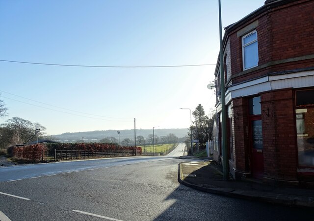
Image: © Robert Graham Taken: 24 Jan 2022
At the east end of Tantobie village, this is the junction of South View with the B6173, the main road to Stanley. The town of Stanley can be seen in the distance.
Images are licensed for reuse under creativecommons.org/licenses/by-sa/2.0
Image Location
Latitude
54.886012
Longitude
-1.722501