Path towards Chequers
Introduction
The photograph on this page of Path towards Chequers by Gordon Hatton as part of the Geograph project.
The Geograph project started in 2005 with the aim of publishing, organising and preserving representative images for every square kilometre of Great Britain, Ireland and the Isle of Man.

There are currently over 7.5m images from over 14,400 individuals and you can help contribute to the project by visiting https://www.geograph.org.uk
Path towards Chequers
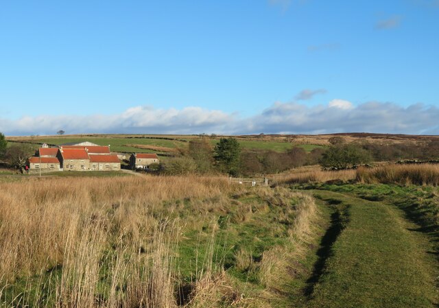
Image: © Gordon Hatton Taken: 27 Jan 2022
Moorland path heading towards the road and Chequers, a property that was once a drovers inn but is now mostly given over to self catering holidays.
Images are licensed for reuse under creativecommons.org/licenses/by-sa/2.0
Image Location


Leaflet Map data © OpenStreetMap
Latitude
54.365687
Longitude
-1.271225