Field edge track to pipe laying site
Introduction
The photograph on this page of Field edge track to pipe laying site by Martin Dawes as part of the Geograph project.
The Geograph project started in 2005 with the aim of publishing, organising and preserving representative images for every square kilometre of Great Britain, Ireland and the Isle of Man.

There are currently over 7.5m images from over 14,400 individuals and you can help contribute to the project by visiting https://www.geograph.org.uk
Field edge track to pipe laying site
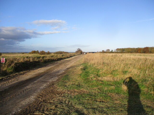
Image: © Martin Dawes Taken: 17 Nov 2021
Pipelaying is going on all over this part of East Yorkshire as the power generated by the North Sea Wind farms is brought ashore to link up with the National Grid near Beverley
Images are licensed for reuse under creativecommons.org/licenses/by-sa/2.0
Image Location
Latitude
53.987846
Longitude
-0.339544