New housing estate, Skipton Lane
Introduction
The photograph on this page of New housing estate, Skipton Lane by Stephen Craven as part of the Geograph project.
The Geograph project started in 2005 with the aim of publishing, organising and preserving representative images for every square kilometre of Great Britain, Ireland and the Isle of Man.

There are currently over 7.5m images from over 14,400 individuals and you can help contribute to the project by visiting https://www.geograph.org.uk
New housing estate, Skipton Lane
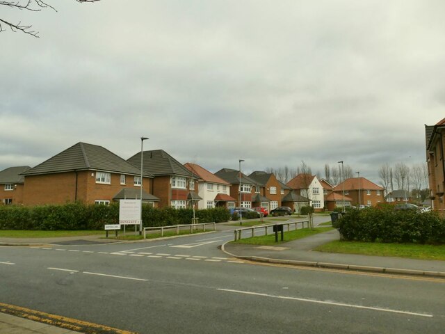
Image: © Stephen Craven Taken: 22 Jan 2022
The development is not yet complete. The side roads are named after Yorkshire towns, this one being Skipton Lane. At the end of the road is an open space on the site of the former Garforth Colliery.
Images are licensed for reuse under creativecommons.org/licenses/by-sa/2.0
Image Location
Latitude
53.789265
Longitude
-1.376421