Publican Farm at road junction on A164
Introduction
The photograph on this page of Publican Farm at road junction on A164 by Martin Dawes as part of the Geograph project.
The Geograph project started in 2005 with the aim of publishing, organising and preserving representative images for every square kilometre of Great Britain, Ireland and the Isle of Man.

There are currently over 7.5m images from over 14,400 individuals and you can help contribute to the project by visiting https://www.geograph.org.uk
Publican Farm at road junction on A164
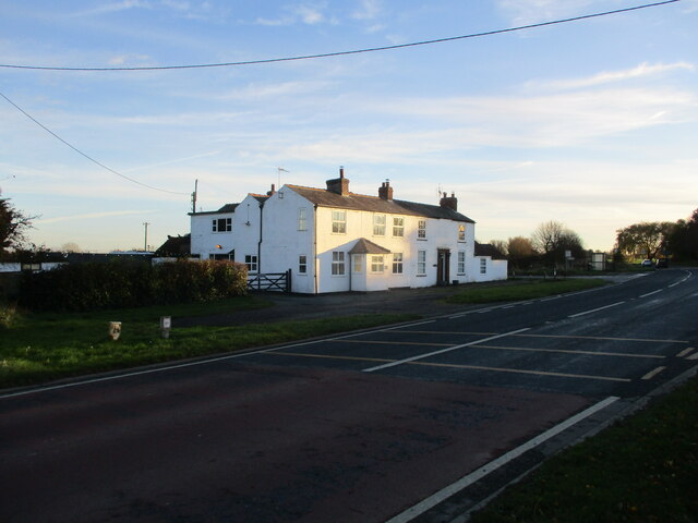
Image: © Martin Dawes Taken: 22 Nov 2021
Publican Farm is the righthand side of this building, at the junction with Wilfholme Road. Given its name was it once a Public House?
Images are licensed for reuse under creativecommons.org/licenses/by-sa/2.0
Image Location


Leaflet Map data © OpenStreetMap
Latitude
53.928212
Longitude
-0.458123