St Hugh's Parish Church
Introduction
The photograph on this page of St Hugh's Parish Church by Bill Boaden as part of the Geograph project.
The Geograph project started in 2005 with the aim of publishing, organising and preserving representative images for every square kilometre of Great Britain, Ireland and the Isle of Man.

There are currently over 7.5m images from over 14,400 individuals and you can help contribute to the project by visiting https://www.geograph.org.uk
St Hugh's Parish Church
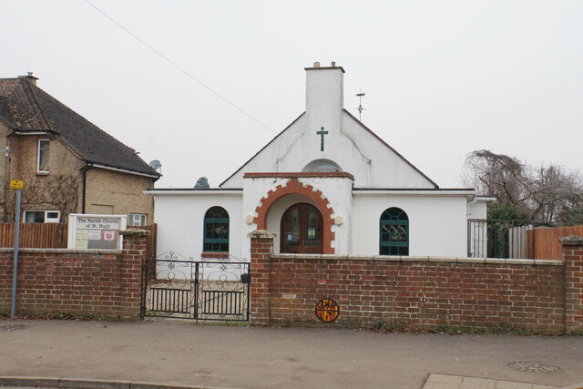
Image: © Bill Boaden Taken: 24 Jan 2022
A 1930s building from the time of Banbury's housing expansion into this area.
Images are licensed for reuse under creativecommons.org/licenses/by-sa/2.0
Image Location
Latitude
52.050803
Longitude
-1.344025