Queensway, Banbury
Introduction
The photograph on this page of Queensway, Banbury by Bill Boaden as part of the Geograph project.
The Geograph project started in 2005 with the aim of publishing, organising and preserving representative images for every square kilometre of Great Britain, Ireland and the Isle of Man.

There are currently over 7.5m images from over 14,400 individuals and you can help contribute to the project by visiting https://www.geograph.org.uk
Queensway, Banbury
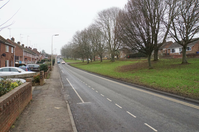
Image: © Bill Boaden Taken: 24 Jan 2022
A broad dual carriageway around the south western side of Banbury, opening up the residential suburbs. It acts a bit like a ring road though the lack of traffic lights where it meets the A361 undermines that.
Images are licensed for reuse under creativecommons.org/licenses/by-sa/2.0
Image Location
Latitude
52.054334
Longitude
-1.348494