Muscliff: Moreton Road
Introduction
The photograph on this page of Muscliff: Moreton Road by Chris Downer as part of the Geograph project.
The Geograph project started in 2005 with the aim of publishing, organising and preserving representative images for every square kilometre of Great Britain, Ireland and the Isle of Man.

There are currently over 7.5m images from over 14,400 individuals and you can help contribute to the project by visiting https://www.geograph.org.uk
Muscliff: Moreton Road
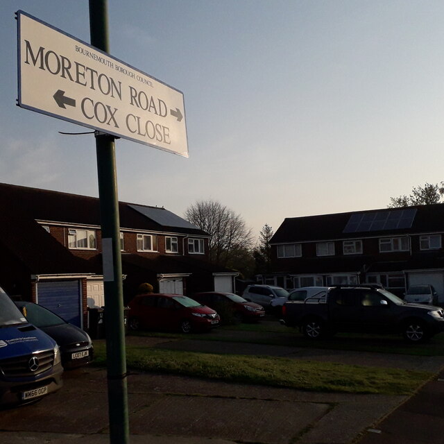
Image: © Chris Downer Taken: 12 Apr 2020
This sign stands, unusually, not at a road junction but at the dead end of the two roads mentioned. A path runs through from here, also to Muscliffe Lane, but there is no vehicular access between the two roads here. It is only this immediate dead end of Moreton Road which falls into my 2km radius from home. Moreton Road is on a large early-1980s estate, all of whose roads are named after Dorset villages. The sign is the same one seen here Image It is a modern one, probably put up in the last five years or so when the borough dropped its logo from street nameplates. This is photo no.285 of a series of 453 in my coronavirus lockdown walking project: See Link for the complete set of photos.
Images are licensed for reuse under creativecommons.org/licenses/by-sa/2.0
Image Location
Latitude
50.761444
Longitude
-1.864688