Wood Nook Lane, Honley
Introduction
The photograph on this page of Wood Nook Lane, Honley by Humphrey Bolton as part of the Geograph project.
The Geograph project started in 2005 with the aim of publishing, organising and preserving representative images for every square kilometre of Great Britain, Ireland and the Isle of Man.

There are currently over 7.5m images from over 14,400 individuals and you can help contribute to the project by visiting https://www.geograph.org.uk
Wood Nook Lane, Honley
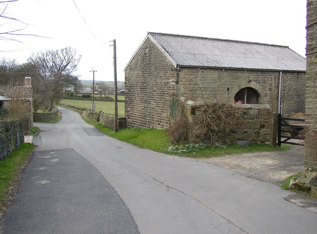
Image: © Humphrey Bolton Taken: 28 Feb 2008
This lane is here the modern boundary between Meltham on the left and Honley, but before 1897 Honley extended westwards to include the Knowl Top area.
Images are licensed for reuse under creativecommons.org/licenses/by-sa/2.0
Image Location


Leaflet Map data © OpenStreetMap
Latitude
53.591841
Longitude
-1.818668