Semi-demolished Broardmarsh Centre
Introduction
The photograph on this page of Semi-demolished Broardmarsh Centre by David Lally as part of the Geograph project.
The Geograph project started in 2005 with the aim of publishing, organising and preserving representative images for every square kilometre of Great Britain, Ireland and the Isle of Man.

There are currently over 7.5m images from over 14,400 individuals and you can help contribute to the project by visiting https://www.geograph.org.uk
Semi-demolished Broardmarsh Centre
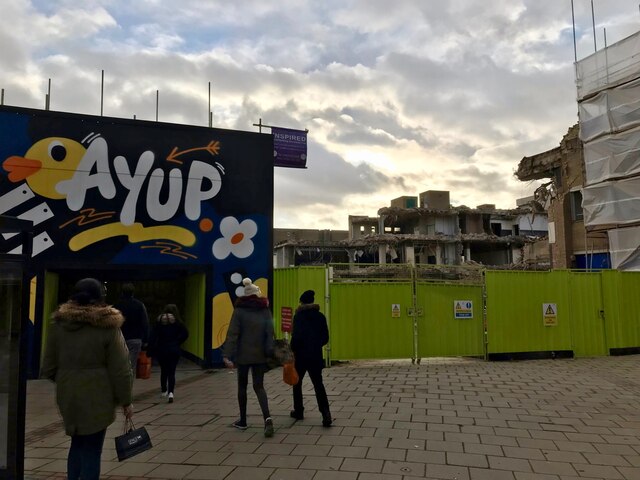
Image: © David Lally Taken: 4 Dec 2021
With a temporary walkway from Lister Gate to Colin Street. Taken from the Lister Gate end,
Images are licensed for reuse under creativecommons.org/licenses/by-sa/2.0
Image Location
Latitude
52.950344
Longitude
-1.148714