Valley Road Park ? boules
Introduction
The photograph on this page of Valley Road Park ? boules by Alan Murray-Rust as part of the Geograph project.
The Geograph project started in 2005 with the aim of publishing, organising and preserving representative images for every square kilometre of Great Britain, Ireland and the Isle of Man.

There are currently over 7.5m images from over 14,400 individuals and you can help contribute to the project by visiting https://www.geograph.org.uk
Valley Road Park ? boules
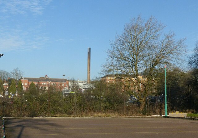
Image: © Alan Murray-Rust Taken: 18 Jan 2022
In the foreground are petanque or boules courts; the City Hospital forms the backdrop.
Images are licensed for reuse under creativecommons.org/licenses/by-sa/2.0
Image Location
Latitude
52.988334
Longitude
-1.152645