The Moors
Introduction
The photograph on this page of The Moors by Ian Capper as part of the Geograph project.
The Geograph project started in 2005 with the aim of publishing, organising and preserving representative images for every square kilometre of Great Britain, Ireland and the Isle of Man.

There are currently over 7.5m images from over 14,400 individuals and you can help contribute to the project by visiting https://www.geograph.org.uk
The Moors
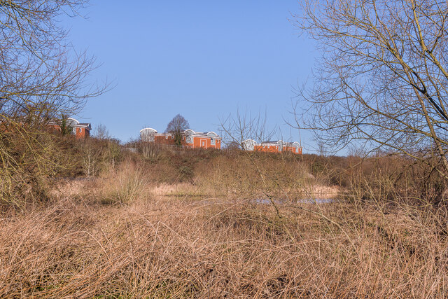
Image: © Ian Capper Taken: 17 Jan 2022
Wetland nature reserve managed by the Surrey Wildlife Trust alongside the Redhill Brook. In the background is the embankment of the Quarry Line (the name given to the fast lines built by the London Brighton and South Coast Railway in 1899 avoiding Redhill station), and beyond are the tops of three blocks in the residential development of Park 25, dating from c.2010.
Images are licensed for reuse under creativecommons.org/licenses/by-sa/2.0
Image Location
Latitude
51.245031
Longitude
-0.155721