Daws Place/Lilley Mead
Introduction
The photograph on this page of Daws Place/Lilley Mead by Ian Capper as part of the Geograph project.
The Geograph project started in 2005 with the aim of publishing, organising and preserving representative images for every square kilometre of Great Britain, Ireland and the Isle of Man.

There are currently over 7.5m images from over 14,400 individuals and you can help contribute to the project by visiting https://www.geograph.org.uk
Daws Place/Lilley Mead
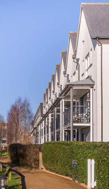
Image: © Ian Capper Taken: 17 Jan 2022
Houses in Lilley Mead (nearest) and Daws Place (beyond), part of Watercolour, a major housing development on the site of the old Holmethorpe sand quarry, built over the first 15 years or so of the 21st Century. These buildings were completed in 2008/9.
Images are licensed for reuse under creativecommons.org/licenses/by-sa/2.0
Image Location
Latitude
51.250942
Longitude
-0.151343