Kinson: Millhams Drive
Introduction
The photograph on this page of Kinson: Millhams Drive by Chris Downer as part of the Geograph project.
The Geograph project started in 2005 with the aim of publishing, organising and preserving representative images for every square kilometre of Great Britain, Ireland and the Isle of Man.

There are currently over 7.5m images from over 14,400 individuals and you can help contribute to the project by visiting https://www.geograph.org.uk
Kinson: Millhams Drive
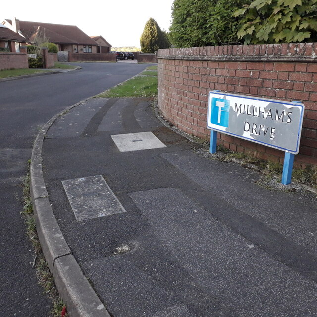
Image: © Chris Downer Taken: 15 Apr 2020
A cul-de-sac off Millhams Road, younger than and diagonally opposite Image The sign is of a design that became prevalent in Bournemouth around 1990 and was in use for most of that decade. Many are starting to look a bit shabby now, with peeling white or fading blue, and this is a very good example of the white deterioration. This is photo no.273 of a series of 453 in my coronavirus lockdown walking project: See https://www.geograph.org.uk/article/My-2020-Coronavirus-Lockdown-walking-project for the complete set of photos.
Images are licensed for reuse under creativecommons.org/licenses/by-sa/2.0
Image Location
Latitude
50.771734
Longitude
-1.904082