Garstang Flood Storage Basin dam
Introduction
The photograph on this page of Garstang Flood Storage Basin dam by Carroll Pierce as part of the Geograph project.
The Geograph project started in 2005 with the aim of publishing, organising and preserving representative images for every square kilometre of Great Britain, Ireland and the Isle of Man.

There are currently over 7.5m images from over 14,400 individuals and you can help contribute to the project by visiting https://www.geograph.org.uk
Garstang Flood Storage Basin dam
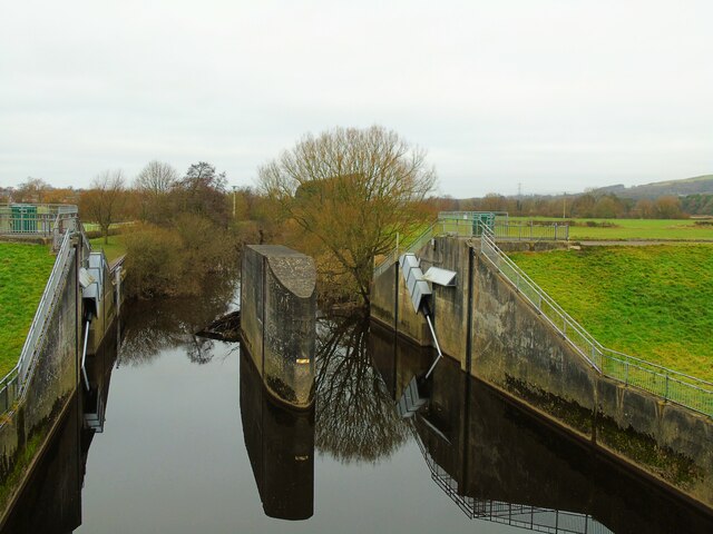
Image: © Carroll Pierce Taken: 17 Jan 2022
This is the dam whose gates are raised to control the flow of water along the River Wyre as it passes Garstang and Catterall at times of flood. Garstang, Lancashire.
Images are licensed for reuse under creativecommons.org/licenses/by-sa/2.0
Image Location


Leaflet Map data © OpenStreetMap
Latitude
53.903917
Longitude
-2.768741