Lepe Farm
Introduction
The photograph on this page of Lepe Farm by Des Blenkinsopp as part of the Geograph project.
The Geograph project started in 2005 with the aim of publishing, organising and preserving representative images for every square kilometre of Great Britain, Ireland and the Isle of Man.

There are currently over 7.5m images from over 14,400 individuals and you can help contribute to the project by visiting https://www.geograph.org.uk
Lepe Farm
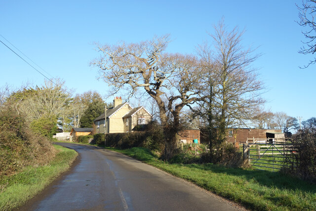
Image: © Des Blenkinsopp Taken: 17 Jan 2022
Lepe is described by Wikipedia as a linear hamlet. Since medieval times it has been part of the parish of Exbury and Lepe. https://en.wikipedia.org/wiki/Lepe,_Hampshire
Images are licensed for reuse under creativecommons.org/licenses/by-sa/2.0
Image Location
Latitude
50.791325
Longitude
-1.375282