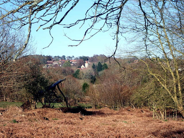
Buxted village from Buxted Park
Introduction
The photograph on this page of Buxted village from Buxted Park by Phil Brandon Hunter as part of the Geograph project.
The Geograph project started in 2005 with the aim of publishing, organising and preserving representative images for every square kilometre of Great Britain, Ireland and the Isle of Man.
There are currently over 7.5m images from over 14,400 individuals and you can help contribute to the project by visiting https://www.geograph.org.uk

Image: © Phil Brandon Hunter Taken: 5 Apr 2020
St Mary the Virgin, the parish church of present day Buxted, as seen from Buxted Park. The earlier (13th century) St Margaret's Church Buxted (earlier spelling Buxstead) is situated in the private lands of Buxted Park. In rearranging the Park estate and its deer park around 1836 (in the time of ownership by one Charles Cecil Cope Jenkinson, third Earl of Liverpool) the village dwellings were demolished and the new village centre with new parish church constructed a mile away to the east, across the River Uck.

