Unnamed burn
Introduction
The photograph on this page of Unnamed burn by James Allan as part of the Geograph project.
The Geograph project started in 2005 with the aim of publishing, organising and preserving representative images for every square kilometre of Great Britain, Ireland and the Isle of Man.

There are currently over 7.5m images from over 14,400 individuals and you can help contribute to the project by visiting https://www.geograph.org.uk
Unnamed burn
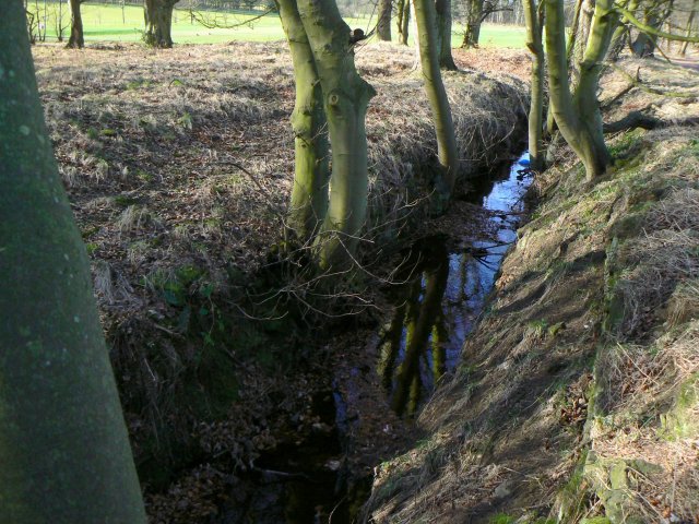
Image: © James Allan Taken: 27 Feb 2008
Little more than a drainage ditch, this burn runs just a few metres south of the A92's westbound carriageway.
Images are licensed for reuse under creativecommons.org/licenses/by-sa/2.0
Image Location
Latitude
56.142756
Longitude
-3.163517