St. Michael's Road
Introduction
The photograph on this page of St. Michael's Road by Malcolm Neal as part of the Geograph project.
The Geograph project started in 2005 with the aim of publishing, organising and preserving representative images for every square kilometre of Great Britain, Ireland and the Isle of Man.

There are currently over 7.5m images from over 14,400 individuals and you can help contribute to the project by visiting https://www.geograph.org.uk
St. Michael's Road
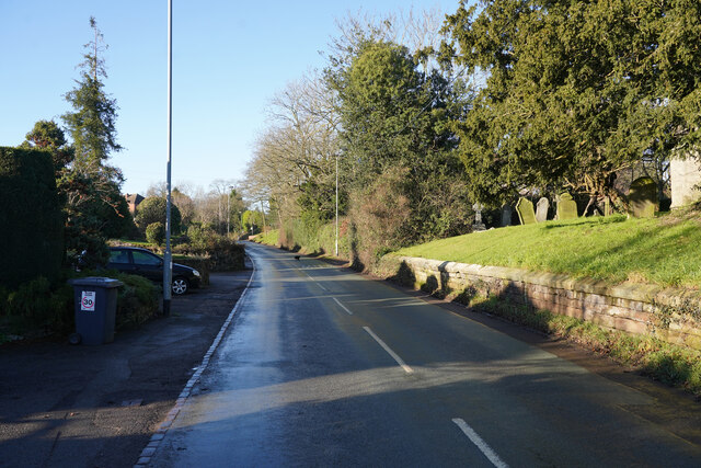
Image: © Malcolm Neal Taken: 17 Jan 2022
An aptly named road as I am standing next to St. Michael and All Angels church near the edge of the village of Stramshall.
Images are licensed for reuse under creativecommons.org/licenses/by-sa/2.0
Image Location


Leaflet Map data © OpenStreetMap
Latitude
52.919832
Longitude
-1.884843