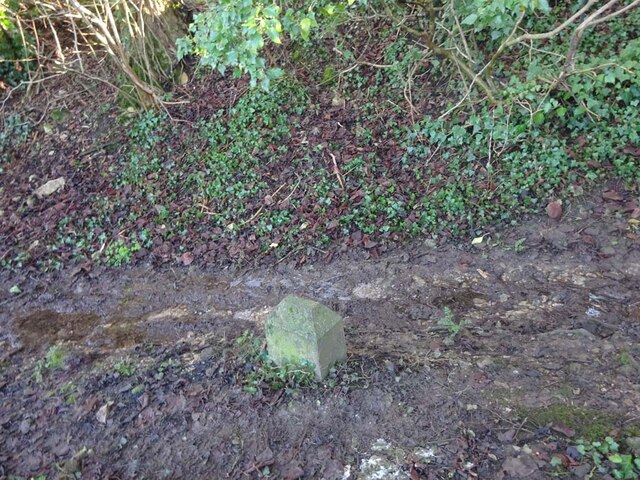
Boundary Stone, Shortwood, Nailsworth
Introduction
The photograph on this page of Boundary Stone, Shortwood, Nailsworth by Mr Red as part of the Geograph project.
The Geograph project started in 2005 with the aim of publishing, organising and preserving representative images for every square kilometre of Great Britain, Ireland and the Isle of Man.
There are currently over 7.5m images from over 14,400 individuals and you can help contribute to the project by visiting https://www.geograph.org.uk

Image: © Mr Red Taken: 14 Jan 2022
This concrete post is one of 5 on a section of land with Gloucestershire footpaths MHO10 & MHO12 at the apex . It is probably designated as part of the highway. It marks the boundary between Nailsworth town and Horsley parish. It was moved to its current field boundary position from the line of the road in 1935. Similar posts are http://www.geograph.org.uk/photo/7070612 & http://www.geograph.org.uk/photo/7070608 & http://www.geograph.org.uk/photo/7070604 & http://www.geograph.org.uk/photo/7070601 Milestone Society National ID: GL_HORNAI05pb

