Old milestone
Introduction
The photograph on this page of Old milestone by Chris Minto as part of the Geograph project.
The Geograph project started in 2005 with the aim of publishing, organising and preserving representative images for every square kilometre of Great Britain, Ireland and the Isle of Man.

There are currently over 7.5m images from over 14,400 individuals and you can help contribute to the project by visiting https://www.geograph.org.uk
Old milestone
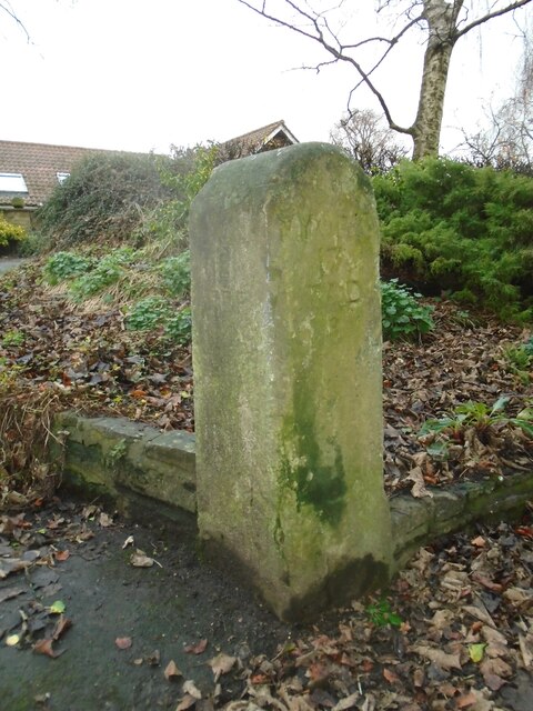
Image: © Chris Minto Taken: 9 Jan 2022
This stone is now preerved on Northfield Lane off High Street in South Milford. It was found lying in the soil at the southern end of South Milford when the South Milford and Sherburn by-pass was built. It was rescued and set up at the entrance to a farmhouse. The left face has the legend LON/181/FER/4 and on the adjacent side facing the lane YORK/17/TAD/8. It is marked on Jeffrey's 1771 map.
Images are licensed for reuse under creativecommons.org/licenses/by-sa/2.0
Image Location
Latitude
53.779059
Longitude
-1.257295