Field above Whaley Bridge
Introduction
The photograph on this page of Field above Whaley Bridge by Bill Boaden as part of the Geograph project.
The Geograph project started in 2005 with the aim of publishing, organising and preserving representative images for every square kilometre of Great Britain, Ireland and the Isle of Man.

There are currently over 7.5m images from over 14,400 individuals and you can help contribute to the project by visiting https://www.geograph.org.uk
Field above Whaley Bridge
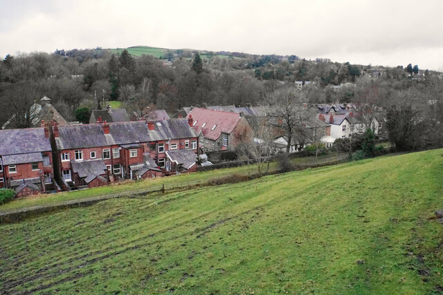
Image: © Bill Boaden Taken: 14 Dec 2021
Looking down from Old Road. The more major road, Buxton Road, runs in the bottom of the valley here. The centre of Whaley Bridge is off to the right.
Images are licensed for reuse under creativecommons.org/licenses/by-sa/2.0
Image Location
Latitude
53.32457
Longitude
-1.984497