Path by the River Goyt
Introduction
The photograph on this page of Path by the River Goyt by Bill Boaden as part of the Geograph project.
The Geograph project started in 2005 with the aim of publishing, organising and preserving representative images for every square kilometre of Great Britain, Ireland and the Isle of Man.

There are currently over 7.5m images from over 14,400 individuals and you can help contribute to the project by visiting https://www.geograph.org.uk
Path by the River Goyt
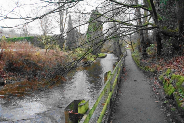
Image: © Bill Boaden Taken: 14 Dec 2021
One of several paths in the Memorial Park which occupies much of the western side of the River Goyt in Whaley Bridge.
Images are licensed for reuse under creativecommons.org/licenses/by-sa/2.0
Image Location
Latitude
53.32457
Longitude
-1.986299