Flakebridge
Introduction
The photograph on this page of Flakebridge by Andy Waddington as part of the Geograph project.
The Geograph project started in 2005 with the aim of publishing, organising and preserving representative images for every square kilometre of Great Britain, Ireland and the Isle of Man.

There are currently over 7.5m images from over 14,400 individuals and you can help contribute to the project by visiting https://www.geograph.org.uk
Flakebridge
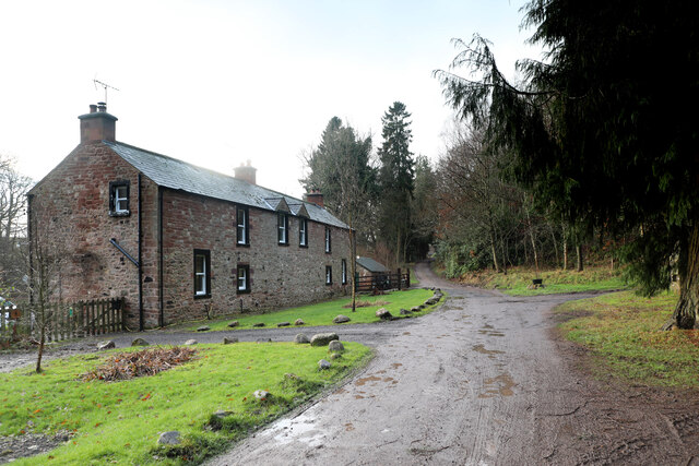
Image: © Andy Waddington Taken: 8 Jan 2022
Flakebridge comprises a scattering of houses along the southern edge of Flakebridge Wood, above the very flat valley of Murton Beck. This house sits opposite the junction track heading north alongside Swine Gill, deeper into the forest. Judging by the noise which assailed us for the best part of an hour as we approached this point, which had fortunately ceased by the time we got here, the main activity here is slaughtering anything that comes into shotgun range. Just to the west, after the shooting had desisted, the howls of very many dogs serenaded our passing from a building in which they were clearly imprisoned but keen to escape and either greet or devour passers by.
Images are licensed for reuse under creativecommons.org/licenses/by-sa/2.0
Image Location
Latitude
54.592759
Longitude
-2.460686