Deal features [3]
Introduction
The photograph on this page of Deal features [3] by Michael Dibb as part of the Geograph project.
The Geograph project started in 2005 with the aim of publishing, organising and preserving representative images for every square kilometre of Great Britain, Ireland and the Isle of Man.

There are currently over 7.5m images from over 14,400 individuals and you can help contribute to the project by visiting https://www.geograph.org.uk
Deal features [3]
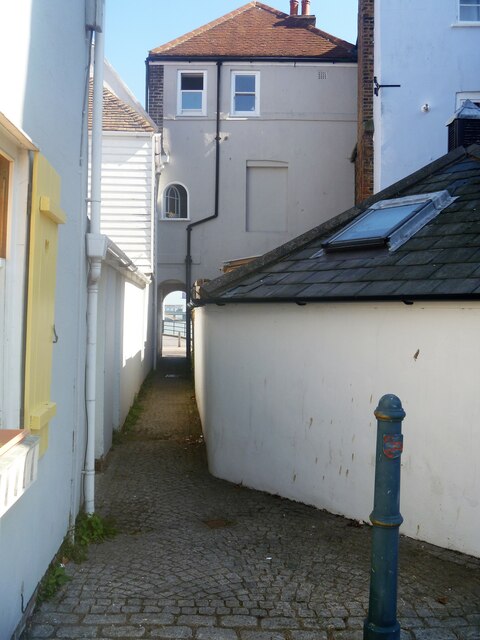
Image: © Michael Dibb Taken: 8 Sep 2021
From Middle Street, this alleyway, one of many in the town, leads through to Beach Street. Deal is a coastal town in Kent, 14½ miles southeast of Canterbury and 8 miles northeast of Dover. A former fishing and garrison town overlooking the anchorage in the Downs, Deal was one of the Cinque Ports in 1278, and grew into the busiest port in England. Today Deal is a seaside resort, its quaint streets lined with ancient buildings. Deal Castle, an artillery fort, was built in the Tudor period and has a rose plan.
Images are licensed for reuse under creativecommons.org/licenses/by-sa/2.0
Image Location
Latitude
51.223487
Longitude
1.403979