Brookside Lane, Badby
Introduction
The photograph on this page of Brookside Lane, Badby by Stephen McKay as part of the Geograph project.
The Geograph project started in 2005 with the aim of publishing, organising and preserving representative images for every square kilometre of Great Britain, Ireland and the Isle of Man.

There are currently over 7.5m images from over 14,400 individuals and you can help contribute to the project by visiting https://www.geograph.org.uk
Brookside Lane, Badby
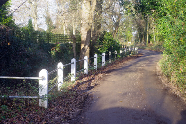
Image: © Stephen McKay Taken: 5 Jan 2022
Brookside Lane skirts the eastern side of Badby connecting Church Green with Chapel Lane. The brook runs alongside the lower part of the lane and is a tributary of the River Nene which passes just north of the village (and is itself no more than a small stream in this area).
Images are licensed for reuse under creativecommons.org/licenses/by-sa/2.0
Image Location
Latitude
52.22536
Longitude
-1.179391