Farmland, Great Kimble
Introduction
The photograph on this page of Farmland, Great Kimble by Andrew Smith as part of the Geograph project.
The Geograph project started in 2005 with the aim of publishing, organising and preserving representative images for every square kilometre of Great Britain, Ireland and the Isle of Man.

There are currently over 7.5m images from over 14,400 individuals and you can help contribute to the project by visiting https://www.geograph.org.uk
Farmland, Great Kimble
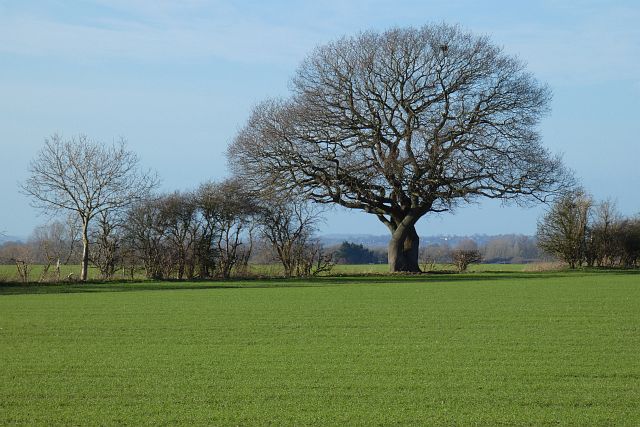
Image: © Andrew Smith Taken: 9 Jan 2022
A pleasingly shaped oak in a boundary between arable fields as viewed from the bridleway to the north of Hollytree Farm.
Images are licensed for reuse under creativecommons.org/licenses/by-sa/2.0
Image Location
Latitude
51.750685
Longitude
-0.824703